I wanted to take my Girlfriend and her boys to Carlsbad Caverns since none of them had been. I had been there once before. Since her sister lived in El Paso we decided to visit here for a day and go to Carlsbad the next day. I had never been to El Paso before and was expecting a dirty run down city. Being so close to the Mexico border and Juarez, Mexico. What I found there was a city bigger than Albuquerque and very historic.
 The trip down Interstate 25 from Albuquerque to El Paso has nothing interesting to see. But it only takes about 4 hours. In El Paso you can see Mexico from the freeway. The Rio Grand is the border between Mexico and the US, and the river isn’t that wide at the border. Looking at the Mexican side of the border you see a lot of brightly painted houses and small streets. I can imagine what the US side looks like to the Mexicans with our tall buildings for shopping and industry. As if were mocking them with our prosperity.
 We did not go into Juarez and the people we met there hadn’t been either/ They mostly told me that there wasn’t much there unless you want to go and party. On the next visit I don’t plan to go either. However on the next trip I hope to stay longer and check out the more historic parts of down town El Paso. On our way out of town there was a border patrol stop. It was interesting that it was there as it was. I wonder if they have one on every exit out of town. They just asked us if we were all Americans and then sent us on our way. It was a mostly boring ride down highway 62/180. But there was some interesting parts like Salt Flat, TX the Guadalupe Mountains National Park. El Captain is visible along the drive. Along the drive I saw quite a few abandoned gas stations and hotels. I often see them along I-40 when I drive to Arizona. I suppose there was a time in the early 1900’s that cars were less capable and it took longer to get from place to place so people needed to stay at hotels along the way.
 The Caverns are just south of Carlsbad New Mexico. Prices are reasonable at the cave and they don’t charge for parking. It’s a long into the main part of the cave, half of which is just walking down. But don’t worry there’s is a elevator to take you back up. Bats live in the cave. At night there is a sitting area where people can watch the mass exodus. We did not stay to see that.
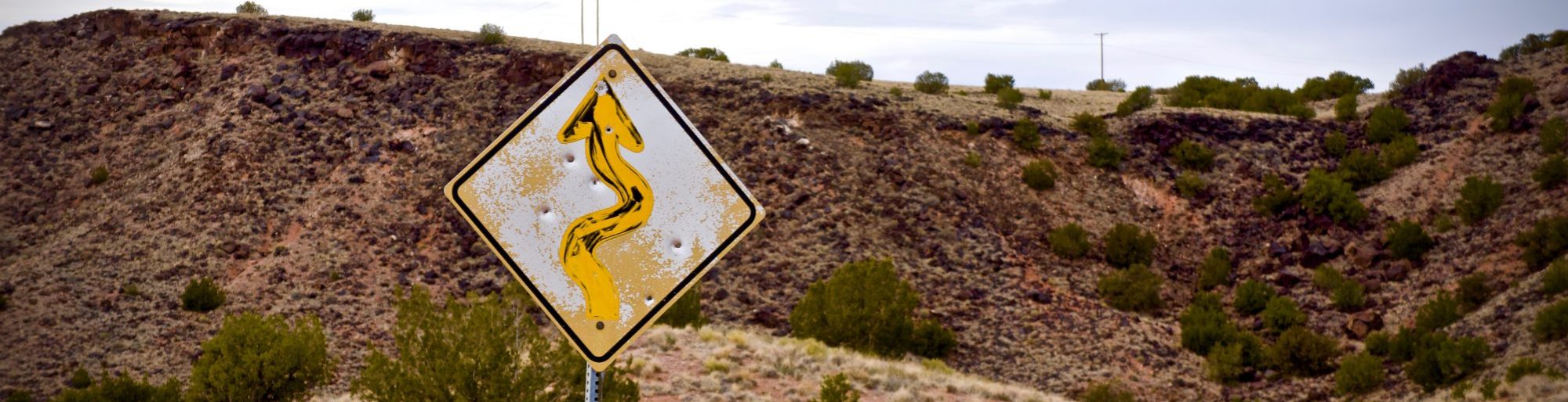
The drive back was the most horrible. I figure it takes 6 hours to get to Carlsbad going south of it via El Paso. There are no major high ways into Carlsbad and going north you have to take smaller state roads where the speed limit is 55-65 MPH. This makes a big difference on how long it takes and it must have taken us 9 hours to get back. Our route was north to Roswell the west to I-25. Since you pass through many towns along the way that slows you down even more, and just before we reached I-25 it seems like we had been driving for ever. Which we had. These sort of trips remind me that there was a time when people rode horse through this country with no road or stops along the way. There was some stuff to look at along the way and they were thinking I was lost. I kept assuring them I wasn’t lost, it just was taking a long time.
Lincoln New Mexico was in between Roswell and i-25. I had no idea this place even existed. There is a It is certainly a historic town, nestled in the middle of Lincoln Nation Forest. This National Forest is the birthplace of Smokey the Bear. If we ever go to Carlsbad again, for my Family’s sake I will drive south through El Paso